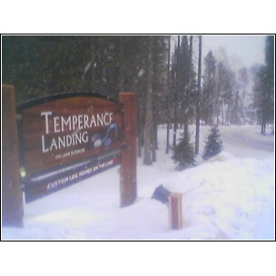
"Welcome to Temperance Landing. This cozy community is situated on seven acres of mature Spruce, Birch and Red Pine Forest, right on Lake Superior's edge with nearly 600 feet of ledge rock shoreline and cobblestone beach. Temperance Landing is located directly between the Cross and Temperance Rivers, less than a mile from our namesake Temperance River State Park. Our unique and natural setting offers residents and guests all the best the Minnesota's North Shore has to offer, right outside your door.
On Lake Superior’s Gold Coast
We call it the Gold Coast because the rugged shoreline is framed by the back drop of the Sawtooth Mountains, offering some of the highest peaks and most breathtaking views on the North Shore. We’re also the heart of the North Shore’s year-round playground. Whether you like to hike, bike, fish, boat, kayak, golf, snowmobile, ski – cross country or downhill – or just relax and watch the waves roll in, we’ve got it all!
Located just three and a half hours from the Twin Cities, Temperance Landing is minutes from some of the best restaurants and attractions on the North Shore. And, it's only 25 miles from Sawbill Lake and a Boundary Waters Canoe Area Wilderness entry point.
If winter is your season, no worries. Temperance Landing is 10 miles from Lutsen Mountain and Ski Resort and directly connected to countless cross country ski trails. It’s also the perfect place to relax by the crackling fire while sipping a glass of wine after a long day on the slopes or trails..."-from "Our Neighborhood"
{Photo Gallery}
Saturday, January 31st of 2009
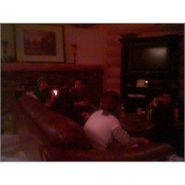
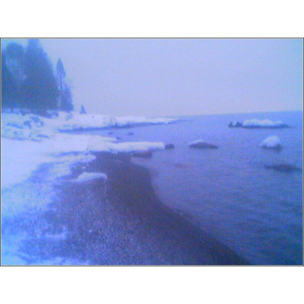
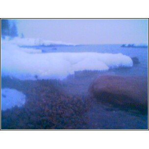
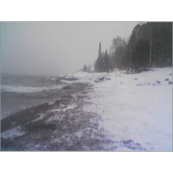
-celebrating my younger bro's 30th birthday at Lutsen (see photos). We stayed at Temperance Landing (10 miles south west in Schroeder-see photos)
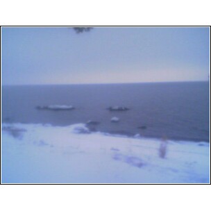
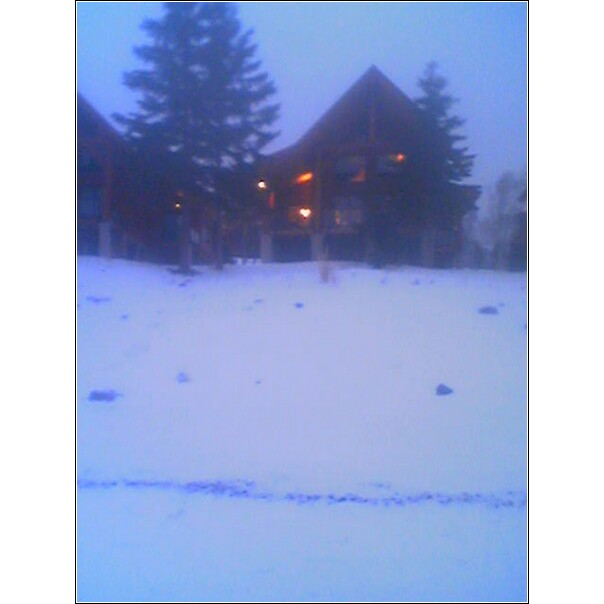
Above are some pictures (grayish color)taken also on a snowy morning on Sunday, February 1st. I was up around 8am and wanted to take a stroll of this area. I was able to catch it "live" on my camcorder, which I'll be posting the video soon here. There was one part of the morning when I can see the "lake effect" storm moving across the lake (north east to southwest), which I wasn't able to capture on my video in time. It was a very beautiful scenic environment. I would later travel southeast along the north shore to the "famous" Split Rock (see photo) light house.
"..is a community or populated place (Class Code U6) located in Cook County at latitude 47.544 and longitude -90.892. The elevation is 636 feet. Schroeder appears on the Schroeder U.S. Geological Survey Map. Cook County is in the Central time zone (GMT -6). Observes DST?..."
"Schroeder is a township in Cook County.
The community was named for John Schroeder, lumber company president
The latitude of Schroeder is 47.544N. The longitude is -90.891W.
It is in the Central Standard time zone. Elevation is 1,663 feet.
The population, at the time of the 2000 census, was 187."
"Take the trail that winds along the edge of the Temperance River gorge and enjoy the rushing waterfalls surrounded by pine, spruce, cedar and birch forests. The rapidly flowing river has cut deep potholes in and along the riverbed. Hike the trail to Hidden Falls or connect up with trails into the Superior National Forest and the Cross River Wayside. Visitors come to camp and picnic along the shore of Lake Superior. Winter brings cross-country skiers and snowmobilers to tackle the hilly terrain. Carlton Peak, a recent addition to the park, is popular with rock climbers and offers even more recreational opportunities to park visitors..."
-History "Pierre Esprit Radisson and Medard Chouart, Sier des Groselliers, were probably the first white visitors to the North Shore when they traveled up the shore of Lake Superior during 1660. Along with the Ojibwe Indians, the French controlled the North Shore area until 1763. The first white settlers in the area were probably clerks at American Fur Company posts located along the shore in the 1830s. It is said the park got its name because, unlike other North Shore streams, the river had no bar at its mouth. At one time, the waters of this particular river flowed so deep and so strong into Lake Superior that there was no build-up of debris. This meant that there was no "bar." What could you call a river without a bar? For an appropriate, if slightly tongue-in-cheek selection, "temperance" fits perfectly. The area became a state park in 1957. Campsites on both sides of the river, plus the park's hiking trails and picnic areas, draw a steady stream of visitors to this North Shore park."
Temerance River Lower Falls
"This is the last drop of the Temperance River before flowing into Lake Superior. A gorgeous waterfall, hidden in a tall cleft beftween the bluffs of the lakefront. " temperance river swimming, from youtube.com
Minnesota Highway 61
"The route is a scenic highway, following the North Shore of Lake Superior, and is part of the Lake Superior Circle Tour designation that runs through Minnesota. Places visited include Lake Superior, Gooseberry Falls State Park, Split Rock Lighthouse State Park, Lutsen Mountains, Temperance River State Park and Cascade River State Park. "